Maps
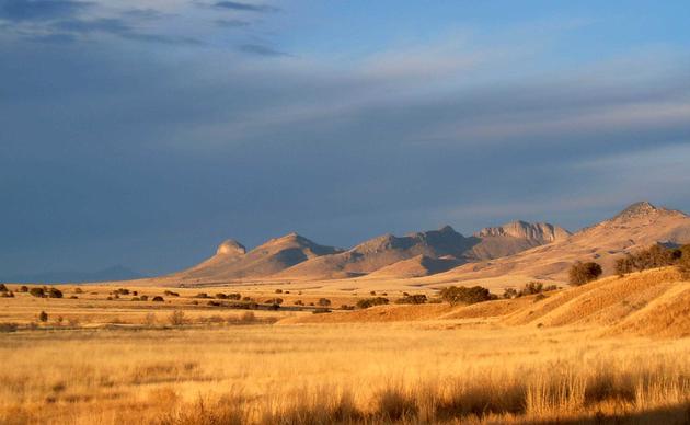
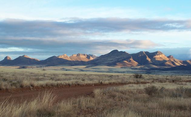
The Research Ranch has full GIS capabilities, using Manifold and ArcGIS. We maintain an extensive set of data layers for Santa Cruz County and southeastern Arizona. Click on the links below to view some of the available maps.
Appleton-Whittell Research Ranch Fire History (2 mb PDF)
Ecological Site Maps (973 kb PDF)
Donate to the AWRR
Donate today and help us continue our work furthering conservation science, engaging people with birds and their habitats, and improving habitat here on the AWRR. Every dollar counts!
Connect with the Research Ranch
Support to Our Fellowship Programs
Your gift to our fellowship programs will ensure that student scientists will receive Fellowships to encourage and support their research.
Volunteer your Time
The Research Ranch is a truly unique place that stirs great feelings in those lucky enough to be involved. Please contact us for details about our organized volunteer program.
Living Gently on the Land
If you want to conserve native wildlife and habitat, “Living Gently on the Land” will help you understand and protect the plants, animals and landscapes of the Southwest.